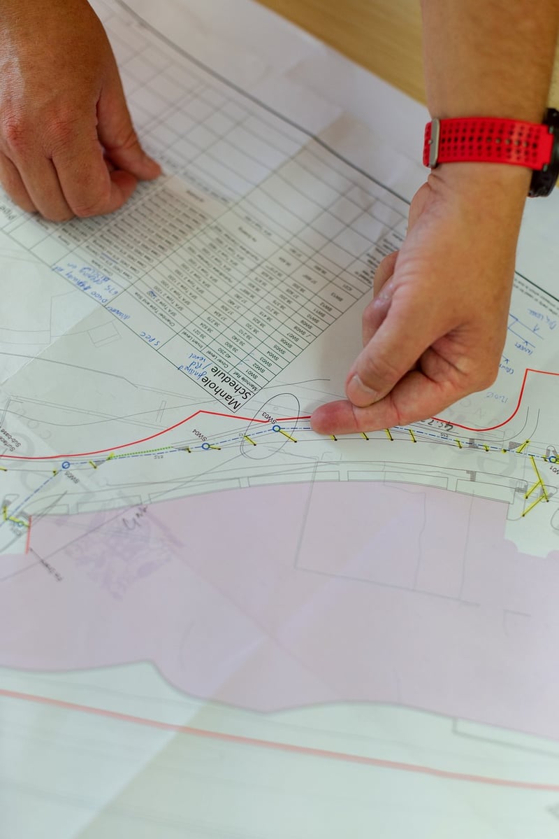
Infrastructure Planning
Exploring Unique Vantage Points from Above for Infrastructure Planning
When it comes to infrastructure planning, having a bird's eye view can provide invaluable insights and perspectives. Aerial photography and satellite imagery offer unique vantage points that can revolutionize the way we approach infrastructure development and management.
The Power of Aerial Imagery
Aerial imagery provides detailed, high-resolution views of landscapes, urban areas, and infrastructure. By capturing images from above, planners and engineers can analyze terrain, assess environmental impact, and plan transportation networks with precision.

Benefits of Aerial Photography in Infrastructure Planning
- Identifying optimal locations for infrastructure projects
- Assessing land use and terrain for better planning
- Monitoring construction progress and maintenance needs
- Enhancing disaster response and recovery efforts
Satellite Imagery for Comprehensive Planning
Satellite imagery offers a broader perspective, allowing planners to monitor large areas, track changes over time, and analyze patterns for long-term planning. With advances in satellite technology, real-time monitoring and data collection have become more accessible than ever.

Integration of Satellite Data in Infrastructure Development
- Mapping urban growth and expansion
- Assessing environmental impact and conservation efforts
- Optimizing transportation routes and networks
- Improving disaster preparedness and response strategies
By leveraging aerial photography and satellite imagery, infrastructure planners can make informed decisions, streamline project implementation, and create sustainable solutions for future development. The combination of these technologies opens up a world of possibilities for infrastructure planning and management.
Next time you look up at the sky, remember that the view from above is not just picturesque but holds immense potential for shaping the world below.
