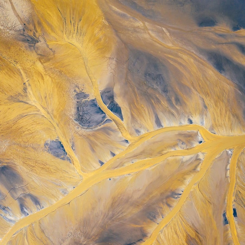
Disaster Assessment
Aerial Perspectives for Various Industries
Unmanned Aerial Vehicles (UAVs), commonly known as drones, have revolutionized various industries by providing unique aerial perspectives for enhanced efficiency and safety. From agriculture to construction, drones offer a wide range of applications that can significantly benefit businesses.
Agriculture
In agriculture, drones equipped with specialized cameras and sensors can monitor crop health, irrigation systems, and pest infestations. This aerial data helps farmers make informed decisions, optimize crop yields, and reduce resource wastage.
Construction
For the construction industry, drones are used for site surveying, progress tracking, and safety inspections. By capturing high-resolution aerial images and 3D models, drones enable project managers to monitor construction progress accurately and identify potential issues early.
Real Estate
Real estate professionals utilize drones to create captivating aerial footage of properties for listings and marketing purposes. These aerial views provide prospective buyers with a comprehensive overview of the property and its surroundings, enhancing the sales process.
Disaster Assessment
In times of natural disasters such as hurricanes, earthquakes, or wildfires, drones play a crucial role in disaster assessment and response. Drones can quickly survey affected areas, assess damage, and identify potential hazards without risking human lives.
Benefits of Using Drones for Disaster Assessment:
- Rapid Deployment: Drones can be deployed quickly to assess disaster areas, providing timely information to emergency responders.
- Cost-Effective: Using drones for assessment is more cost-effective than traditional methods that involve manned aircraft or ground crews.
- Access to Remote Areas: Drones can access hard-to-reach or hazardous areas, allowing for comprehensive assessment without endangering rescue teams.
- Data Collection: Drones equipped with cameras and sensors can collect valuable data for damage assessment and planning effective response strategies.
Integrating drones into disaster assessment procedures enhances overall response capabilities, improves situational awareness, and ultimately helps save lives.

Embracing aerial perspectives through drone technology is transforming industries and revolutionizing disaster assessment practices. As technology continues to advance, the integration of drones into various sectors will only continue to grow, bringing about new possibilities and efficiencies.
